NWQ Flood Warning Infrastructure Network project update
The Queensland Reconstruction Authority’s Flood Infrastructure Network (FWIN) project, facilitated by NWQROC for North West Queensland, is making great progress and on track to be finalised in June 2022. The project is jointly funded by the Australian and Queensland governments.
The project will deliver an integrated network of 66 flood warning devices across 12 local governments, nine in the North West and three in the Central West. The infrastructure includes a combination of cameras, rain and river gauges and warning signs.
While individual councils currently have some flood warning infrastructure, such as road cameras, electronic warning signs and flood gauges, this network will go even further to produce vital, region-wide information to better plan for and respond to flooding events.
The NWQROC councils, as well as Croydon and the Central West councils of Boulia, Winton and Longreach, have been working with the project contractors Qteq and the QRA team throughout 2021 to assess current infrastructure, identify priority locations and requirements ahead of on-ground delivery.
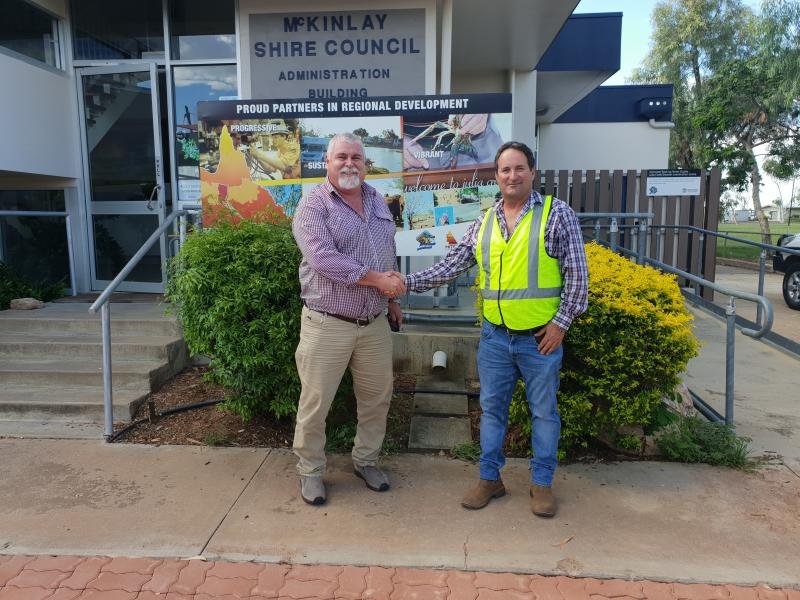
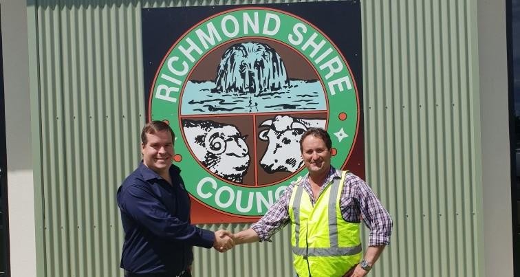
Qteq provided an update at the recent NWQROC board meeting on progress and explained the features and operation of the infrastructure and the interface with the Bureau of Meteorology (BOM). At present footings are being poured ahead of the wet season to be followed by installation and commissioning of the devices in the second quarter of 2022.
Once finalised the technology is set to improve our region’s resilience and safety with weather reporting significantly improved together with flood forecasting.
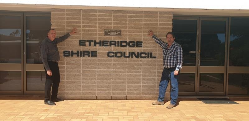
Helping further boost preparedness, NWQROC is pleased to see a new BOM radar has recently come online at Greenvale covering north eastern parts of our region including Etheridge, Richmond and Flinders Shires.