Explore more about our member councils
Scroll down or click on the logo to go direct to the council’s page.
Scroll down or click on the logo to go direct to the council’s page.

Burke Shire the most far North West council in the NWQROC region, situated on the Gulf of Carpentaria, adjoining the Northern Territory border.
The shire’s administrative centre is Burketown which is located on the Savannah Way, one of the world's great transcontinental road journeys for adventure travellers.
Burketown is 2115km to the north west of Brisbane, the capital of Queensland, and 2100km from Darwin.
The Shire covers 40 127 km², approximately 40 times larger than the area of Brisbane City Council.
The shire has significant indigenous populations from the Gangalidda Garawa and Waanyi traditional owner groups.
Burke Shire is home to iconic tourist attraction including Boodjamulla (Lawn Hill) National Park and the Riversleigh fossil fields World Heritage Site. The area is also well-known for its world class Barramundi fishing, an abundance of bird life and well fed crocodiles.
The Burke Shire's remoteness is also an advantage, with residents and visitors saying that they enjoy a relaxed, stress and hassle-free lifestyle without the big city' negatives such as pollution, crowds, traffic congestion, serious crime and overcrowding.
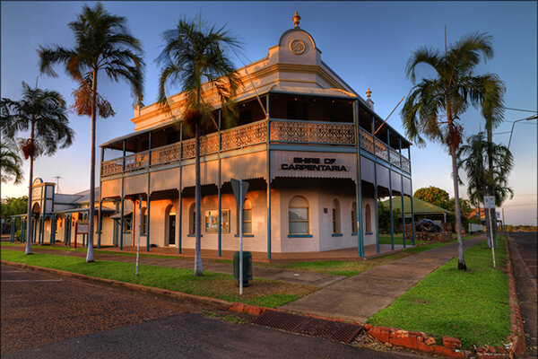
Carpentaria Shire is the north eastern most council area in the NWQROC region, stretching along the coastline of its namesake, the Gulf of Carpentaria.
The region is uniquely placed to offer residents and visitors opportunities and experiences in lifestyle, holidays, employment and investment opportunities. Carpentaria Shire has a friendly, laid-back lifestyle and is a place where children still ride their bikes down to the river to go fishing after school without parents having to worry as they would in the larger towns and cities.
Normanton is the region's government and administrative centre with much of the shire's commercial activity coming through Karumba which has an active port.
The Shire covers an area of approximately 65,000 square kilometres and has a population of approximately 2,200 with the countryside ranging from vast inland plains to mangrove forests, deltas and saltpans along the coastal areas of the Gulf.
Carpentaria Shire is the traditional country of the Gkuthaarn, Kukatj and Kurtijar people.
Carpentaria Shire has a diverse industry base with agriculture, fishing and tourism and government administration providing the majority of the Shire's income.
Carpentaria Shire Council's Vision is "Experience Carpentaria Shire - a great place to live, work, invest and relax". Whether you want to visit Carpentaria Shire, have a specific question about Council's services, or you are thinking about a permanent move we welcome your enquiry and look forward to being of service to you.
Cloncurry Shire, covers an area of 48,112 km2 with its central administration hub in the town of Cloncurry.
It is named after the Cloncurry River, which was named by Robert Burke (of the Burke and Wills) during their 1861 expedition, after his cousin, Lady Elizabeth Cloncurry of County Galway, Ireland.
Cloncurry, or ‘The Curry, as it is affectionately known by locals, is most famous for being the birthplace of the Royal Flying Doctor Service (RFDS). It is also home to the original Qantas hangar where the first passenger flew from Longreach to Cloncurry in 1922. Some say that Qantas was conceived in Winton, born in Cloncurry and grew up in Longreach, so all three towns played a massive part in the Australian icon's development.
The traditional owners of the region are the Mitakoodi, Kalkadoon and Pitta Pitta Aboriginal people.
Mining plays a significant role in the town's economy with some of Australia's largest copper deposits in the region.
Croydon Shire has a population of approximately 269 and covers an area of 29,498 km² - around half the size of Tasmania. It is located in the heart of the Gulf Savannah Region and is approximately 2,200km by road north west of Brisbane, and to the west 500km from Cairns and 700km from Townsville.
Croydon, the shire’s only settlement, is the regional service and administration centre for Croydon Shire providing government, retail, commercial and community services to residents and visitors. Approximately two thirds of the population resides in Croydon while the remainder lives and works on the shire’s large cattle stations.
The shire has a relatively youthful population with a mean age of 35 years compared with the Queensland average of 37. This means that Council’s community services include specific child care programs within a broader community health and wellbeing framework, addressing the identified needs of the community.
Tagalaka Aboriginal people are the Traditional Owners in the Croydon Shire region.
Cattle production and public administration including supervision of road construction and maintenance programs account for the most of the shire’s employed labour force (65%) while construction, tourism and transportation each account for around 8% of the labour force. While there are no mines currently operating in Croydon, the legacy of past mining activity has been significant in shaping Croydon and mining exploration continues today.
Positioned just 90km from the base of the Gulf of Carpentaria, Croydon is a key point of interest along the Savannah Way and has a wealth of history and natural attractions for visitors. Heritage buildings and displays, iconic Gulflander train, True Blue Information Centre, Lake Belmore is great for fishing, golf course, tennis courts, trails close to town for bird watching, bush walking, mountain biking and trail running. When you come to Croydon you will feel part of the outback and its relaxing lifestyle.

Covering an area of 186,300 hectares Doomadgee is surrounded by Burke Shire, and is approximately north west of Burketown and 130 km east of the Northern Territory border. It is 630 km by road to Mount Isa and 1035 km west of Cairns on the east Queensland coast.
Aboriginal and Torres Strait Islander people make up 91.9% of the population with their ancestors inhabiting these lands for thousands of years.
The shire includes the traditional homelands of the Gangalidda and the Waanyi people. There are also Garrawa and Yunjulla people and a range of people from Indigenous nations across Australia have made Doomadgee their home.
Etheridge Shire is situated in the Savannah Gulf region of Queensland. Its economy is based on cattle grazing and mining.
It covers an area of 39,332.3 square kilometres (15,186.3 sq mi), and has existed as a local government entity since 1882.
Georgetown is the administrative headquarters of the Shire of Etheridge, a local government area encompassing the nearby settlements of Mount Surprise, Forsayth and Einasleigh. At the 2006 census, Georgetown had a population of 254.
The Etheridge River was the site of a gold rush in the 1870s; the town of Georgetown was established on the site of the diggings. By 1900 grazing had replaced gold mining as the region's primary source of income.
Etheridge has a rich cultural heritage and are proud to recognise the Traditional Owners of the region, the Ewamian and the Tagalaka Peoples.
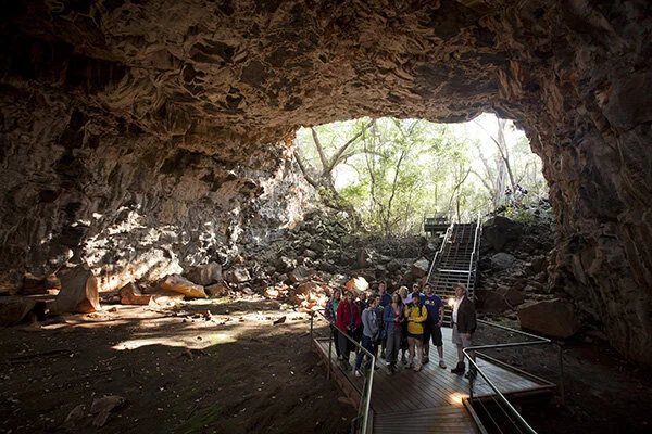
Etheridge Shire boast several iconic, must-do Queensland tourism experiences including the Undara Lava Tubes and Cobbold Gorge and gem fossicking.
Flinders Shire covers 41,632km2, with a population of 1569 residents. The shire encompasses the communities of Hughenden, Prairie, Torrens Creek and Stamford.
The main administrative centre is the town of Hughenden which also encompasses the smaller communities of Prairie, Torrens Creek and Stamford. Hughenden is situation on the Flinders River, 386 km west of Townsville and 519 km east of Mount Isa.
The Flinders Shire covers a variety of diverse landscape with four distinct bio-regions within the shire, the natural surrounds are vast and ever changing, amongst these bioregions are four National Parks.
The shire is predominantly a grazing area, with some emerging irrigation pockets. North of the Flinders River is predominately red and black volcanic basalt country and to the south of Hughenden is black soil downs country with open natural grass lands.
Prehistoric history includes finds of a Muttaburrasaurus, Hughenden Sauropod and pieces of the Queensland Pterosaur as well as many ammonites, molluscs and sharks teeth dating back to the Cretaceous era.
The Flinders Highway runs through Hughenden connecting to Townsville (376 km) in the east and Mount Isa (519km) in the west, with a southern sealed road access via the Dinosaur Way to Winton and Longreach. The Kennedy Developmental Road leads north to the Atherton Tablelands and Cairns.
McKinlay Shire’s administrative centre is Julia Creek, and is crossed by the Matilda, Flinders and Landsborough Highways.
McKinlay Shire covers an area of 40,885 km2 and is situated around 600 km west of Townsville on the east coast and 200 km east of Mount Isa.
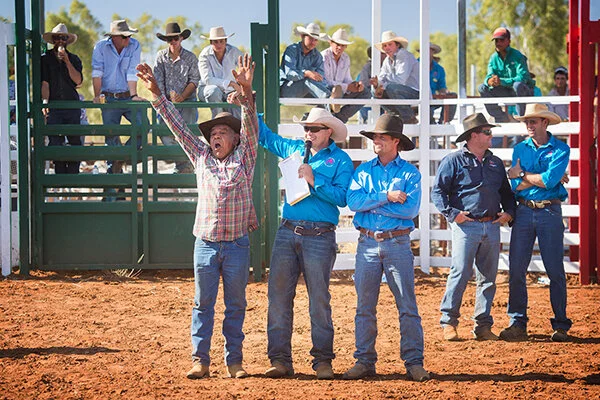
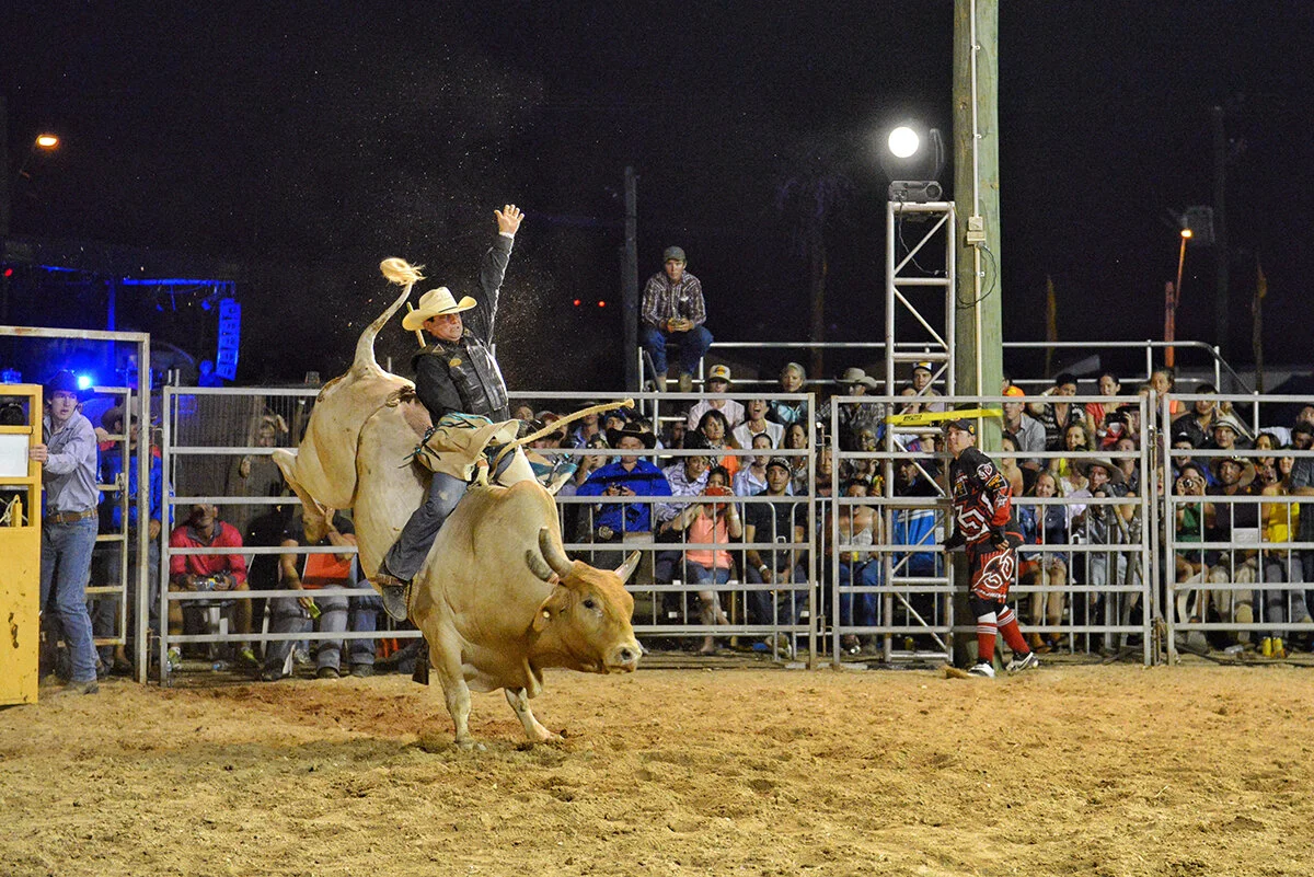
McKinlay Shire is perhaps most famously know for its role in the iconic Australian film Crocodile Dundee - McKinlay Hotel was the film location for the Walkabout Creek Hotel in the film and has since become the town's main feature, attracting tourists travelling the Matilda Highway to the Gulf Country.
A FUSION OF CULTURES
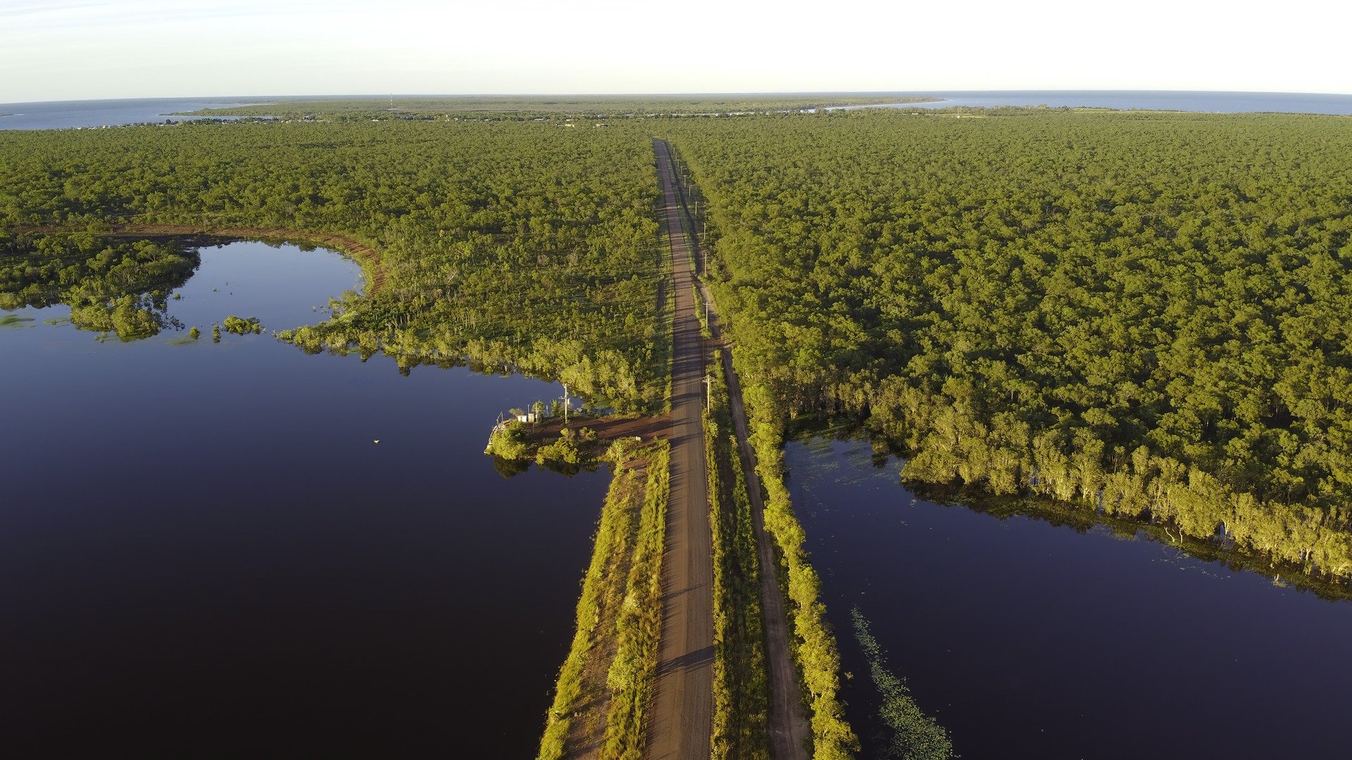
Mornington Island is located about 125kms north-west of Burketown, 200km west of Karumba, and 444km from Mt Isa. Mornington Shire incorporates twenty-one of the twenty-two islands and has an area of 1,248.4 square kilometres.
Mornington Island is a fusion of cultures. From the Lardil people, the traditional custodians, to the Yangkaal and the Kaiadilt people, the Gangalidda peoples, and the many visitors and workers, Mornington Island is very much an intercultural community.
The islands and surrounding seas are the traditional lands and waters of the Lardil, Yangkaal, Kaiadilt and Gangalidda peoples. They have successfully and sustainably managed their land and waters for millennia.
The region remains one of the most pristine anywhere; featuring internationally renowned art works, rich cultural heritage, harmonious multicultural (predominately indigenous Australian) communities and one of the best fishing destinations in Australia. The land is covered by native flora like teatree with swamp flats providing a habitat for many species of wildlife.
The Lardil, Kaiadilt, Yangkaal, and Gangalidda people manage a number of land and sea projects aimed at maintaining the unique natural environment and supporting future generations to live off the land.
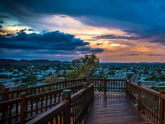
The city of Mount Isa is the largest centre of the North West Queensland region and is affectionately known as the ‘oasis of the outback‘.
Mount Isa is a mining town, situated on the banks of the Leichhardt River. It is 820 km west of Townsville, 160 km from the Northern Territory border and 350 km south of the Gulf of Carpentaria.
Mount Isa began as a mining town, following the discovery in 1923 of substantial deposits of lead. It is now one of the world's top ten producers of copper, silver, lead and zinc. Development has kept pace as prosperity increased.
Apart from mining, the region’s major industry is beef cattle grazing. Beef roads, which service the northern Gulf properties, converge on Mount Isa which, is also an important retail service centre for the surrounding pastoral towns and properties.
The city has grown to be a modern, well-appointed centre of 23,000 people. It is a very cosmopolitan place, with 56 different national origins living and working together in harmony.

Richmond Shire covers an area of 26 602.3km2 with its administrative centre, the town of Richmond, situated on the southern banks of the Queensland’s longest river, the Flinders. Richmond sits approximately 522km west of Townsville on Queensland’s east coast and is in the centre of the state’s North West region.
Richmond’s iconic, open grasslands, and northern forests support a strong beef cattle grazing industry. Cattle are sold from Richmond to the southern market, feedlots, live export and processing sectors. The grazing industry employs the greatest number of people within the Shire.
Tourism is also an important, evolving industry for Richmond, and centres around the well known Kronosaurus Korner marine fossil museum, and Richmond’s reputation as being an excellent destination for finding marine fossils.
Richmond’s major industries offer great potential for growth, including agriculture, tourism and mining.